Imagine surveying a landscape without measuring a single distance. Instead, you carry a clock to two places and ask whether time itself passes at the same rate in both. The answer, according to Einstein’s relativity, depends on Earth’s gravity. A clock at a higher gravitational potential ticks a little faster than one deeper in the field. With clocks precise enough, that tiny mismatch becomes a new kind of map—not of mountains and valleys alone, but of the planet’s unseen gravitational terrain.
It sounds like a trick, but it rests on a very real difference between two ways of describing a place. A conventional survey can tell you how high a point sits geometrically. Geodesy also asks how that point relates to Earth’s gravity field, which varies with the planet’s shape and the uneven distribution of mass beneath the surface. Those distinctions matter when setting height references, tracking water, or comparing measurements over long distances. A clock doesn’t simply tell you “this spot is higher.” It responds to the gravitational potential at its location.
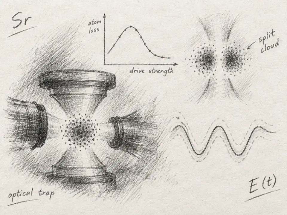
That response is extraordinarily small. Raise a clock by about a centimeter near Earth’s surface, and its tick rate changes by roughly one part in a billion billion. For an ordinary clock, that difference disappears into the noise. But optical atomic clocks use the extremely regular light-frequency transition of atoms as their timekeeper. In optical lattice clocks, laser light holds many atoms in place while researchers measure that transition. The result is a device sensitive enough to turn a minute shift in ticking into a measurement of gravity.
The surprising crossover is that a tool built to keep time can also help define height. Compare two clocks in different places, and their frequency difference carries information about the gravitational potential between them. Surveyors can use that information to determine a geopotential difference—the gravity-related quantity that underlies many height systems. Converting that result into an elevation difference still requires care: local gravity and the chosen reference system matter. The clock is not a magic altimeter. It is a direct probe of a part of the landscape that ordinary tape measures cannot see.
Researchers began testing the idea by putting clocks in separate locations and building a reliable way to compare them. In a 2016 demonstration, two optical lattice clocks were linked across about 15 km using a telecommunications fiber. A shared laser signal helped synchronize their measurements and reject noise that would otherwise obscure the tiny difference. Across six months, the team made 11 comparisons. The clock result corresponded to a height difference of about 15.16 m, with an uncertainty of about 5 cm, consistent with independent leveling and gravimetry measurements.
That result was more than a demonstration that gravity affects time. It showed how a clock comparison could join the practical toolkit of geodesy. The shared signal was important: the clocks’ own laser systems can drift, and even a tiny amount of unwanted variation can swamp the gravitational signal. Linking the clocks lets researchers make a cleaner comparison. In effect, the experiment turns a challenge in precision timekeeping into a surveying method: keep the clocks’ comparison stable enough, and the planet’s gravitational signature can emerge.
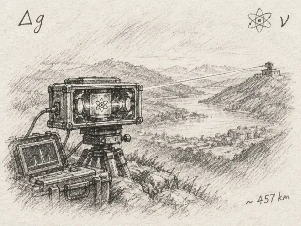
The next test was to take the clock on the road. A 2023 study compared optical lattice clocks at two locations separated by 457 km. Rather than leaving both clocks in fixed laboratories, the researchers first compared them side by side, moved one clock to the distant site, then compared them side by side again. An interferometric fiber link carried the comparison between locations. The measured geopotential difference agreed with an independent geodetic determination. Its uncertainty corresponded to about 27 cm in height.
That is a striking reach for a method still being developed: a clock carried between sites, then used to compare places hundreds of kilometers apart. But the result also shows the difference between a proof of principle and a finished surveying network. The clock had to be transported and carefully checked; the remote comparison depended on a fiber link. “Portable” does not mean effortless, and the measurement was not a standalone reading from a device set down anywhere. Researchers had to control the instrument and the connection well enough to separate gravity’s effect from everything else that could shift a clock’s frequency.
Why bother, then, if conventional geodesy already uses satellites, gravimeters, and precise leveling? Because each method brings different information and different limitations. Clocks respond directly to gravitational potential, while other instruments and models can fill in the wider picture. A clock network could offer new reference points—especially where the gravity field changes quickly across rugged terrain or where existing measurements leave uncertainty. It would not replace today’s tools; its promise is to add another kind of observation to them.
One modeling study explored what that addition might do in mountainous regions of France. The researchers generated simulated gravity and clock data, then tested how well they could reconstruct a detailed geopotential map. In those simulations, adding a small number of clock measurements—less than 1% of the gravimetry data points—reduced the map’s bias and improved its standard deviation by a factor of three. That is not a field demonstration, and it does not guarantee the same improvement everywhere. It is a sign that a few precise clock measurements might help anchor a much larger survey.
The vision grows more compelling when clocks are connected into a network. A set of stable comparisons could provide height references that respond over time, rather than serving only as a fixed snapshot. If repeated measurements can reliably distinguish a changing gravity signal from instrument noise, they might help researchers study shifts in the mass beneath or around a location. Ideas such as monitoring changes relevant to hydrology, seismology, or volcanology remain applications to investigate, not routine services delivered by clock networks today. The first task is proving that the instruments and links can perform dependably outside specialized laboratories.
That engineering challenge is part of the story. The best clocks are complex instruments, and moving them without losing precision is difficult. Fiber links need their own careful handling and noise control. Comparisons must also account for differences that are not caused by gravity, including clock performance and the details of how each measurement is made. Researchers have emphasized making clocks more reliable and transportable, but precision alone does not make a useful map. The clocks need to reach meaningful locations, connect to one another, and produce measurements that geodesists can interpret alongside established data.
There is also a subtle reason these clocks are not merely measuring “height.” Earth’s gravity field is lumpy. Two points at the same geometric elevation can sit at different gravitational potentials, while points at different elevations can share a geopotential reference under particular conditions. That is why geodesy cares about more than a number of feet above a convenient starting point. Clock comparisons offer a direct way to measure differences in the gravitational field, and those differences can help refine the reference surfaces used to describe Earth.
What begins as a test of relativity therefore leads to a practical question: can a clock help us survey the planet more accurately? The early experiments say it can measure meaningful differences, from a local network spanning 15 km to a portable comparison across 457 km. They do not yet show a global web of clocks quietly redrawing the world’s maps. That frontier depends on better portability, robust links, careful cross-checks, and more field measurements. But the underlying idea has already crossed a boundary: timekeeping has become a way to explore the shape of Earth’s invisible gravity.
For now, these clocks are best understood as new witnesses, not replacements for survey crews or satellites. They notice a feature of place that conventional instruments infer through other measurements: how deep or high a location sits in Earth’s gravitational landscape. As the instruments become easier to move and compare, a clock might one day help surveyors connect distant points through the way time flows between them. The map would still be built from many kinds of evidence. One of those pieces, unexpectedly, would be the rate at which atoms tick.