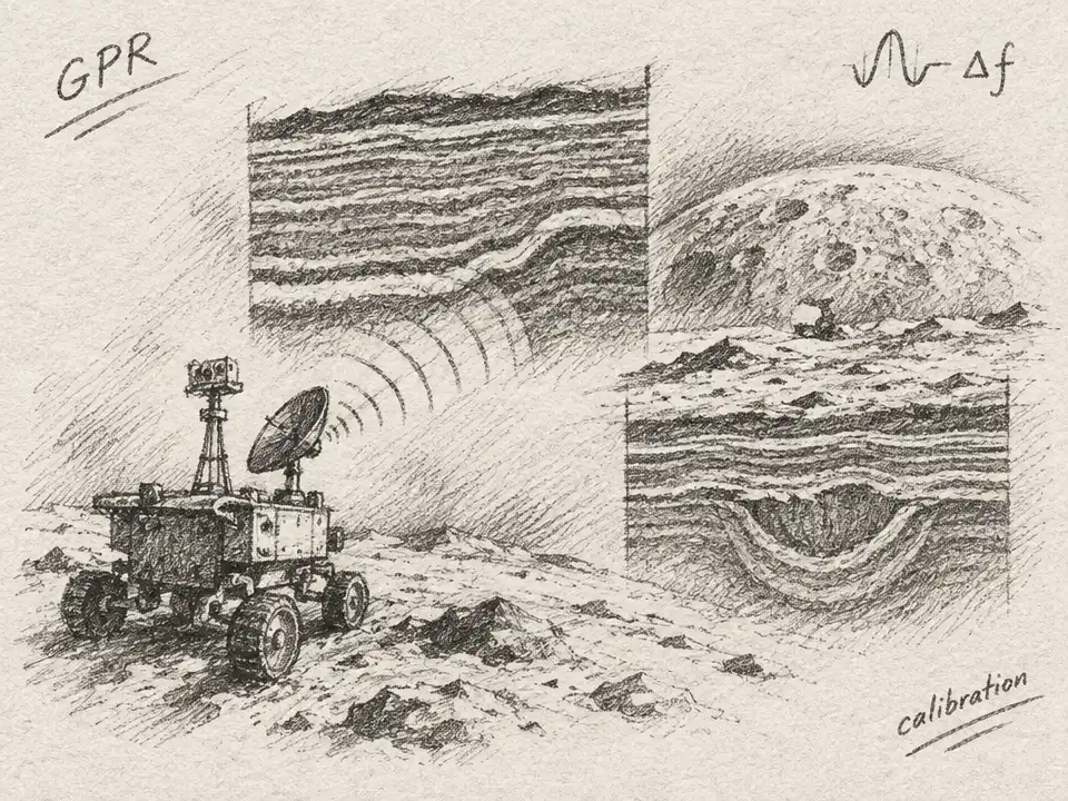
At first glance, the radar image looked like a geological cross-section: long, faint stripes buried beneath the Moon, perhaps marking ancient lava flows or layers of soil between basalt deposits. The data came from Yutu, the rover that crossed the northern lunar plain of Mare Imbrium after China’s Chang’e-3 landing in 2013. But a puzzle soon emerged. The same curious echoes appeared when a copy of the radar system was tested on Earth—where there was no lunar geology to explain them.
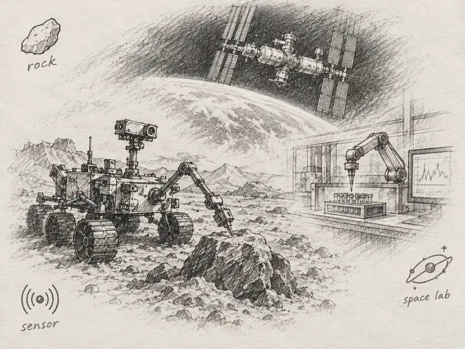
Ground-penetrating radar works by sending pulses into a surface and listening for returning echoes. A boundary between materials can bounce some of the signal back, creating a stripe in the resulting image. On the Moon, that technique offers a way to investigate what lies beneath the dust without digging. Yet a radar travels with its own platform. Metal, electronics and nearby structures can also redirect or distort the signal, making an instrument’s behavior look like a buried feature.
Yutu carried two radar channels. The disputed stripes came from its lower-frequency channel, whose antennas were mounted behind the rover, about two feet above the ground. Earlier researchers had interpreted two faint, deep echoes as real boundaries in the lunar subsurface. One proposed that they marked separate episodes of lava eruption; another saw layers of soil between basalt units. Those were plausible geological readings—but they depended on the assumption that the echoes came from underground.
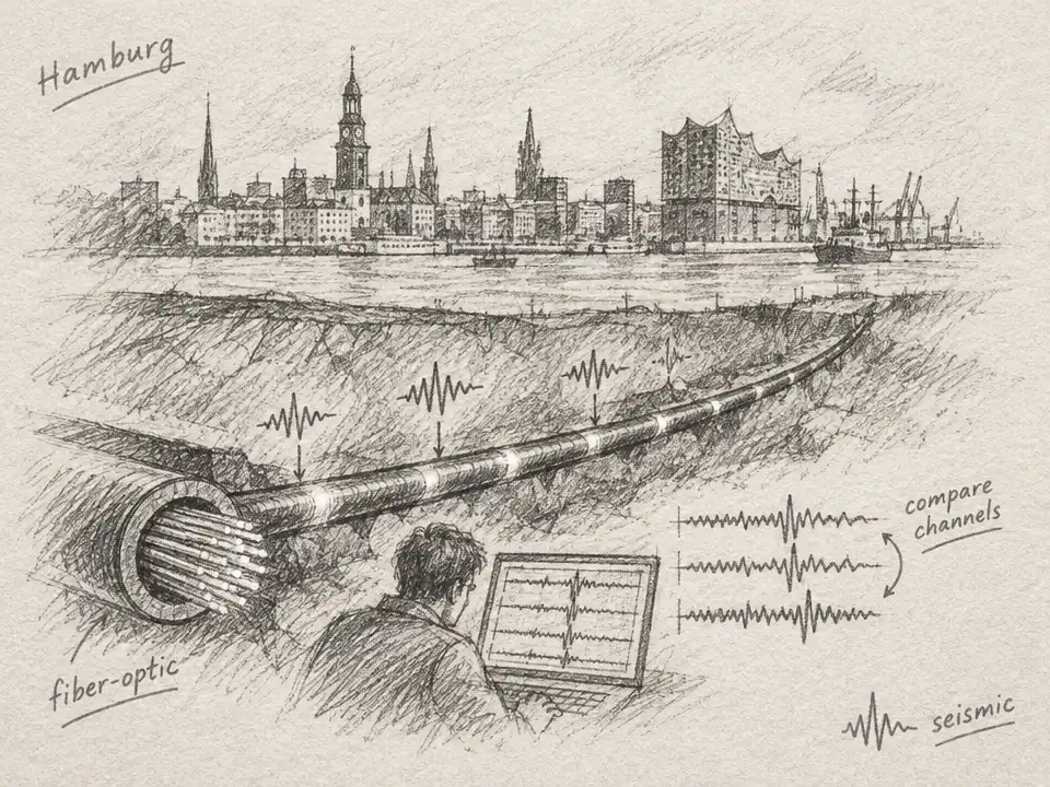
To test that assumption, researchers compared the Moon data with measurements made using a prototype radar mounted on a model of the rover. The tests took place over a glacier and a deposit of loess, a fine, windblown soil. In those very different settings, the radar records contained similar faint, nearly horizontal features at comparable signal delays. That resemblance was a warning: features that recur in unrelated terrain, at the same points in the instrument’s listening window, may belong to the radar system rather than to the ground.
The team then checked whether the lunar echoes stood out from the background. They barely cleared a three-times-noise threshold, and echoes at two different depths had surprisingly similar strengths. If the first echo had traveled through lunar soil and weakened along the way, a deeper echo should have faced even more attenuation. The researchers argued that the near-equal amplitudes made the geological explanation harder to sustain.
A second clue came from the echoes’ frequency. The radar transmitted around 60 MHz. A genuine reflector in the glacier data retained a frequency near that of the transmitted signal, as expected for an echo traveling through ice. But the suspicious features in both the Earth tests and lunar measurements centered around 10 to 15 MHz—well below the radar’s transmitted band. Lunar soil can filter frequencies differently from ice, so a shift alone would not settle the question. The researchers checked whether the amount of filtering needed to explain the shift fit what was known about the lunar terrain. They concluded it did not: the implied signal loss would make echoes at those depths difficult to detect at all.
Taken together, the matching Earth features, weak signal strength and frequency mismatch led the researchers to conclude that the disputed deep echoes were artifacts, not confirmed layers of lunar rock. They could not identify one definitive culprit. Their evidence pointed instead to a likely combination of the radar’s electronics and its electromagnetic interaction with the metal rover. That distinction matters: the study challenged particular interpretations of Chang’e-3’s 60 MHz data, not the idea that radar can reveal lunar geology.
A later study of data from Chang’e-4’s Yutu-2 rover offers a useful contrast. The two missions carried radars with the same general configuration, but this analysis examined the higher-frequency, 500 MHz channel, mounted beneath the rover. Researchers processed data collected along a 540 m traverse on the Moon’s far side. They identified several subsurface interfaces and interpreted the layered deposits as a record of material thrown outward by impacts. The authors estimated that the radar could trace weathered material to about 40 m deep at that site.
One feature interrupted the otherwise layered profile: a broad, bowl-shaped structure filled with smaller reflectors. The researchers proposed that it could be an ancient, buried impact crater, covered by material from later events. They also estimated that roughly 8 m of the upper deposit could have come from Finsen crater, about 140 km away. These are interpretations drawn from the radar data and local geological context—not a direct view of the layers—but they show how echoes can help reconstruct a landscape’s history.
The comparison is not a simple verdict on one mission by another. The challenged Chang’e-3 features came from the low-frequency channel; the Chang’e-4 study mapped layers using the rover’s other channel. What both studies make clear is that a convincing stripe is only a clue. Before it becomes a story about lava, impact debris or buried terrain, it has to survive tests against noise, calibration data and the quirks of the machine listening from above.